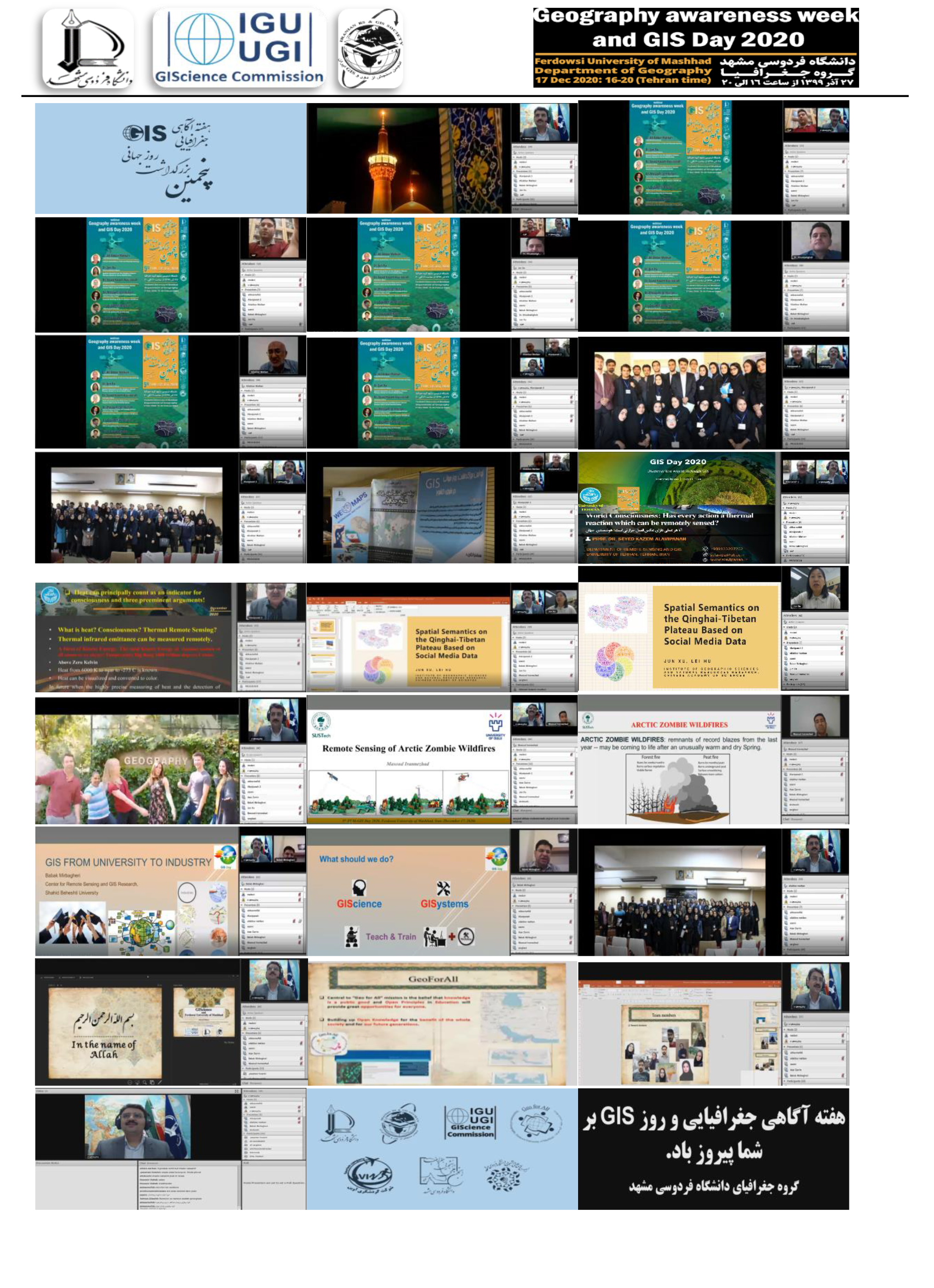


After four consecutive years of celebrating Geography Awareness Week and World GIS Day, through the efforts of Dr. Masoud Minaei, faculty member at the Department of Geography, Ferdowsi University of Mashhad, the fifth conference was held online on December 17, 2016 within the Research Week in the Geography Department of the Faculty of Letters and Humanities, Ferdowsi University of Mashhad. It jointly organized with the GIScience Commission of the International Geographical Union (IGU) and the Remote Sensing Association and GIS of Iran in cooperation with the Education Committee of the Open Source Geospatial Foundation (GeoforAll), the Student Scientific Association of Geography and the Association of Geography Teachers of Khorasan Razavi Province.
The scientific secretary of this conference was Dr. Minaei. The main purpose of the ceremony was creating more links between GIS and its sub-categories including GIS, remote sensing, cartography, etc. with the activities carried out in the country. The conference began with a speech by Dr. Ehsan Ghabool, Director of International Academic and Scientific Relations and International Student Affairs, and Dr. Khoshsaligheh, Deputy for Research at the Faculty of Letters and Humanities. The ceremony was continued with Dr. Mottakan’s speech; while welcoming the online participants, he introduced the Iranian Remote Sensing and GIS Association and provided a report on the activities and history of this association. The keynote speakers of this conference were Dr. Seyed Kazem Alavi Panah, Professor of Remote Sensing and GIS, Faculty of Geography, University of Tehran, Dr. Jun xu, Professor of the Institute of Geographical Sciences and Natural Resources Research at Chinese Academy of Sciences, Dr. Masoud Irannejad, Researcher at SUSTech, China and Oulu University in Finland, Dr. Babak Mirbagheri, faculty member at the Remote Sensing and GIS Center of Shahid Beheshti University, and member of the board of directors of the Remote Sensing and GIS Association of Iran, and finally Dr. Masoud Minaei.
The speakers delivered the following speeches:
Iranian association of GIS and Remote Sensing.
World Consciousness: has Every Actions Thermal Reaction Which can be Remotely Sensed.
Spatial Semantics on the Qinghai- Tibetan Plateau Based on Social Media Data.
Remote Sensing of arctic Zombie Wildfires.
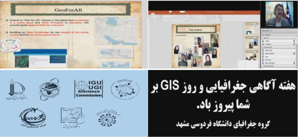
GIS from University to Industry.
GIScience and Ferdowsi University of Mashhad
The audience of the conference was informed about the progress of this applied science and related issues in the world and in Iran.
Also, in this conference, membership of Dr. Minaei at the Executive Committee of the GIScience of the International Geographical Union (IGU) and the establishment of the northeastern branch of the Iranian Remote Sensing and GIS Association in the Department of Geography of Ferdowsi University of Mashhad under his management was announced. Finally, the conference ended with the call of the Department of Geography of Ferdowsi University of Mashhad for expanding voluntary activities in the field of free remote sensing and GIS training in the field of open source software under the supervision of FUM-GeoforAll with the aim of creating a sustainable future for the planet earth.